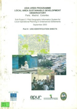
Asia Urbs Programme. Local Area Sustainable Development Observatory
Sub project 3: Pilot Geographic Information System for Local Operational Planning in Underserved Settlements. September 2003. Part 2: USS Identification Sheets
Publisher: Asia Urbs
Year: 2003
Acc. No: 2334
Class No: 362.5 ASI-SL
Category: Books & Reports
Subjects: Urbanisation
Type of Resource: Report
Languages: English
This document contains several computerized maps of the city of Colombo containing settlement level data sheets. These sheets contain information as to the land ownership, buildings, infrastructure, public service and facilities, resident population – demographic data, resident population – socioeconomic data, health conditions, community based organizations and principal risks.


